This current conditions are brought to you by AccuWeather.com!
Temperature: 40 degrees F
Wind: 17 mph from the East
Real Feel: 28 degrees F
Dew point: 30 degrees F.
Cloud Cover: 100%
Barometric Pressure: 30.05 in. and decreasing
Today the whole sky laid out by slide of different levels of it.
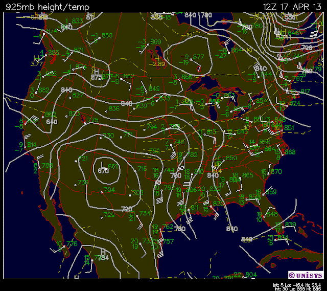
This height at 925 millibars is very similar to surface winds. This map can locate low pressure areas and high pressure areas. This could along with the others combined can show a relative path that the storm could follow most of the time. Pay attention to the large low pressure area over New Mexico. It shifts but this reveals the path.
This is the 500 mb height once again farther away from the surface of the earth. That trough over the Rockies reveals the low pressure area. As well as bringing cooler air temps with it from the North.
This 300 mb level is right around where the jet stream usually is and that would show where that same trough could be blown over to the North East.
The storm that is to the East of Eau Claire has a great chance of hitting us in the early morning or tomorrow for sure and bring some precipitation in the form of rain or snow or both.
The large mositure cloud is right over us and the wind will push that low pressure area right to us.


